You Are Here: GeoPDF
When you grow up in a family of Boy Scouts you hear things like “Always Be Prepared” and “Don’t Forget your Compass.” Well, the world has changed. If you plan to hike, bike, golf, boat, explore, camp or off-road, you need to look into GeoPDF. Lets start with the basics. This is technology that shows you exactly where you are, and what direction your moving without cell signal. And… its FREE. Yes, there’s a paid version too, but you can use this technology with a free download to your Smartphone.
So if you hike deep into the woods, get lost, and have no cell signal, these apps help you find your way back. They will show you where you are and the direction you need to travel. For the purpose of this article, we’ll avoid the obvious question of “how do they do that?” because honestly, other that saying it uses the GPS that is already in your phone, we have no idea. We can, however, offer some ‘How To’ advice so that you can be prepared for summer.
Getting Started
You’ll need to go to your app store BEFORE you leave. Yes, this needs to be preloaded and set up prior to losing cell signal in order to work. Search for GeoPDF in your app store, then choose a GeoPDF app from the list. We choose Avenza Maps because it was recommended by the MN DNR, and since they are providing the free maps, it made sense to chose their favorite app as well.
Adding Maps
Once that’s done, it’s time to add maps . Here’s the thing, these aren’t just ordinary maps. The US Geological Survey created a grid that covers the entire United States. Here in Minnesota, there are 73 blocks in this grid. Each block in this grid is called a Base Map. Know that some of these base maps spill over into the Dakota’s, Canada, Wisconsin and Iowa. We’re going to stay focused on Minnesota though. It’s a great place to learn.
The Base Maps are uniform in size and cover around 30 miles North and South, and 60 miles East to West. They’re big. To be clear, the people who built this don’t measure things by miles. They use longitude and latitude information and very few of us know how much distance makes up a “minute and seconds” of latitude. We’re trying to get our heads around this, so we’re using terms that make more sense. If you really want to know that one second of latitude is about 105 feet, then you can visit this page from National Geographic that has a decent description.
Adding Layers
Each base map has basic details like cities, major roads and lakes. There are also icons showing every public boat ramp in Minnesota, but that’s just the beginning. Once you have a base map you can add features like State Parks. The feature maps are called layers. These layers are mostly free from the State of Minnesota, but some layers have additional cost attached. More on that later. You can have multiple overlays at one time, but keep in mind that some of these maps are big. Your phone has a limited amount of space for storage. It may be wise to preload only the maps you’ll need for a particular trip.
Giving It a Try
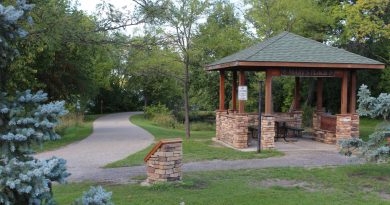
To simply things, let’s say you’re heading to Carlos State Park north of Alexandria for the weekend. First, download the Base Map. You can find the base maps and layers to download for free at the DNR Website. Each Base map has a name. This one is called Lake Minnewaska. Don’t let the name fool you. As we mentioned the base maps take in a pretty large area, and they had to name it something. The largest lake in this Base Map area is Lake Minnewaska so it makes sense to name it such.
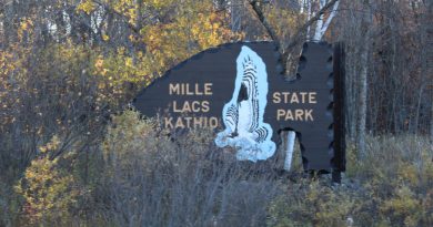
Again, locate the base map first. Then, search for Carlos State park and add it as well. Every State Park in Minnesota has a PDF layer map if you plan to go somewhere else. You can find the state parks on the app or at the DNR Webpage.
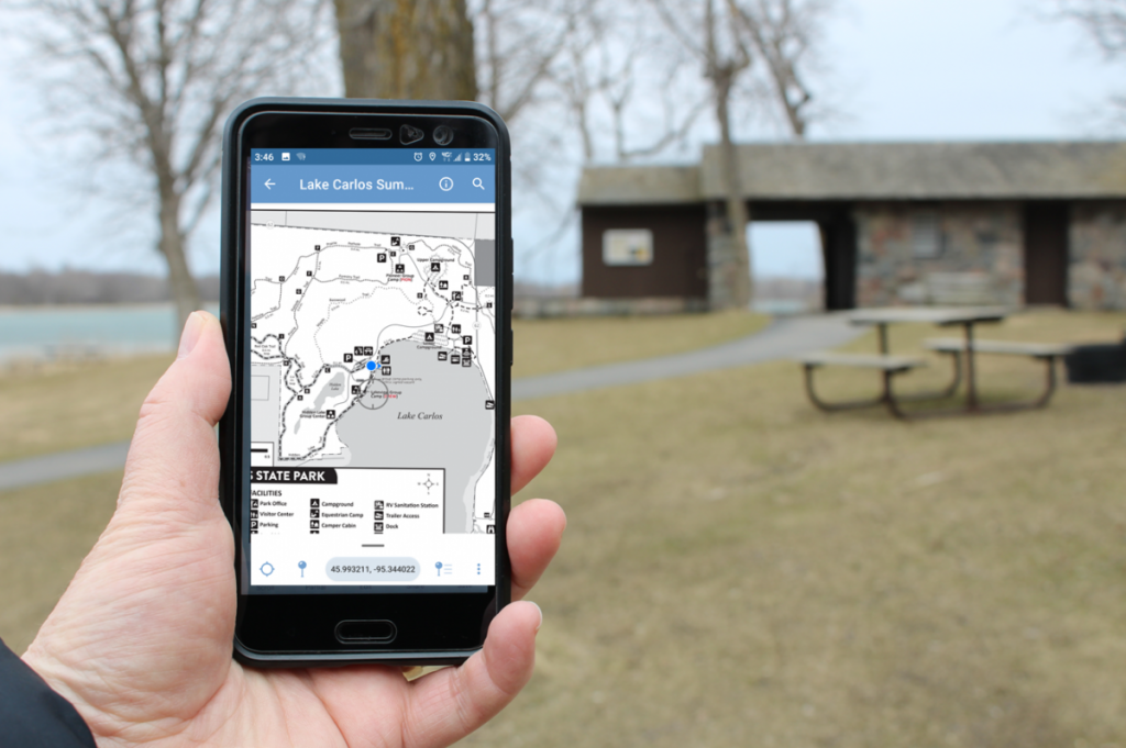
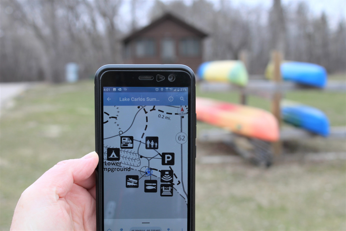
You Are the Blue Dot
Once loaded and turned on, you’ll see the map and a blue dot with an arrow on one side. You are the blue dot. The arrow is the direction you’re facing. Once you start walking, biking or driving the blue dot will move with you.
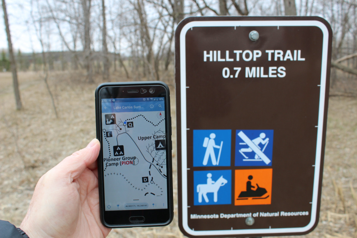
Do keep in mind that State Parks are just the beginning. You can download hiking and bike trails, snowmobile trails, Off Road Vehicle Maps, State Forests, Scientific and Natural Areas. There are even Trout Streams and Hunter Walking Trails. There’s a lot of information.
Some Limitations
Know that most of it is free with some limitations. For example, you can download and keep maps on your phone, but you can only use a few of them at a time. There is a premium version which costs around $32 per year which allows you to have multiple active maps at once.
In addition, there are paid maps that you can add, and may be well worth the money. Road Maps, Hunting Maps and full state maps would fall into this category. That said, the vast majority of the overlays and base maps found in the app are free.
The Advantages
Don’t Get Lost
We can start with the obvious advantage of not getting lost deep in the woods where you’ll be carried away and eaten by mosquitoes of unusual size. (For those dear readers who are not from Minnesota, but wish to visit the 320… yes, that was a joke… kind of.) But aside from the obvious stuff, lets look at some of the advantages of GeoPDF.
Find Key Places
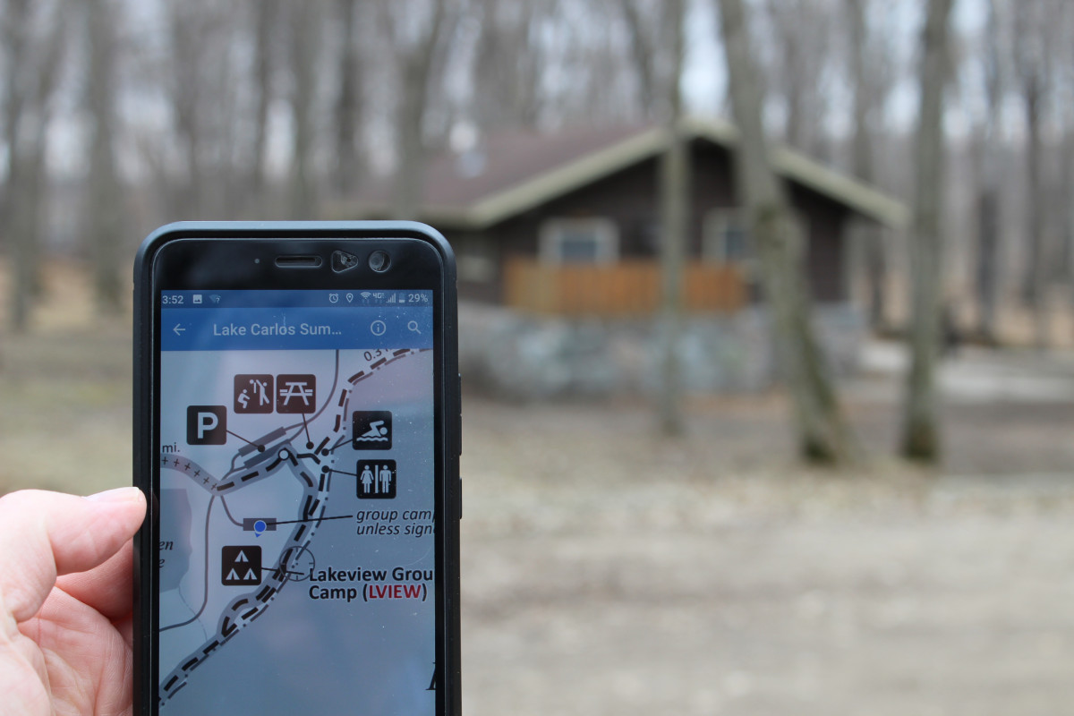
These maps carry every boat ramp in the state of Minnesota. You won’t have to guess where to find one. Plus, you’ll be able to find the bathroom, your camping area or the fish cleaning house. You’ll even know your current proximity to each.
In addition, it’ll show you where the trail head is. And when you decide to go on that last minute hike that you thought “was only 2 miles,” you’ll be able to know instantly that it’s actually an 8 mile round trip grueling adventure with no bathrooms on the route. Valuable information as you make decisions.
Mark Points of interest
If you’re spending the day on the water, you are going to love GeoPDF. Let’s say you’ve put in the boat at Carlos State Park and you’re heading south towards the weedy patch. You drop anchor and let out your fishing line. On the second cast you pull in the best fish of your life. You can use GeoPDF to mark the spot on the map. Return to the spot later, or export the map to share with a friend.
Map Distance Between Things
You can also create a route between two points of interest and know the distance between these points. This might be handy if you’re boating between two great fishing spots on Lake Carlos, or want pull the boat out and drive to a different boat ramp. This function also allows you to know how far you’ve walked on that 8 mile round trip hiking adventure. Or how to hike to a specific feature like the scenic overlook on the far west side of Lake Carlos State Park. The applications are as varied as the points of interest in the 320.
Wrap up
Once you have the app and the appropriate maps, you’ll find new destinations and applications using your own creativity. For example, we found 5 smaller State Parks we didn’t even know existed as we started playing with the information. Its going to be a really busy summer!
One really important item to remember. You need to preload the app and the maps prior to going out in the woods to find your way with GeoPDF. Because it uses the GPS that’s already in your phone, you’ll need to make sure your location is turned on. If location is on, it can work without a cell signal once it is is set up on your phone. We suggest playing with the app and the maps prior to leaving the house so you know how GeoPDF is used. It’s best if you do have to do the work in advance. Maybe that scout leader was right: “Always Be Prepared.”
A video from Avenza that may help as well.